

Navigating the choppy seas of maritime spatial planning The Belgian fishing industry faces numerous challenges, including regulatory changes, limited resources, and intense competition. GeoVis offers a solution, integrating scientific, industry, […]
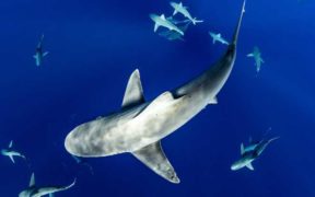
New science-based tool to support spatial planning of threatened marine life. First map of Important Shark and Ray Areas released. The Important Shark and Ray Areas (ISRA) project has released […]


Fish Focus is an online communications, marketing, news and information platform offering a wide range of services for the seafood sector covering all aspects of aquaculture, commercial fishing, seafood processing and the route to market. Follow us on social media platforms for Fish Focus, Aquaculture Focus and Seafood Focus.


